
Interactive Digital Twins
Matterport
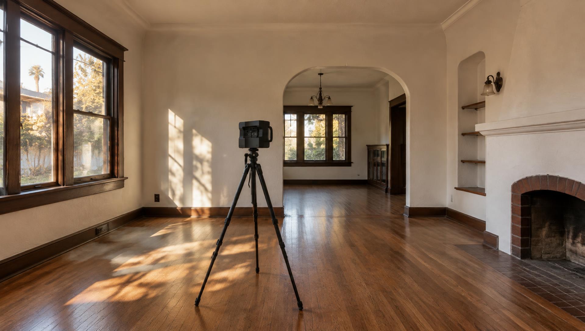
Matterport lets our team digitally revisit existing spaces, inspect interior conditions, and reference a navigable 3D representation of the property long after the site visit.
Every successful project begins with understanding what already exists. At Long Beach Designers, we combine advanced 3D scanning technology, digital documentation, and architectural drafting to create a reliable foundation for thoughtful design.
Careful documentation means fewer assumptions. When existing conditions are recorded before design begins, consultants coordinate from the same information, and every design decision is made with a clearer understanding of the property.
Know where walls, openings, and fixtures actually sit before a single change is drawn.
Tie new construction to the existing structure with documented dimensions and heights.
Understand the lot, the main house, and site constraints before planning a new unit.
Record existing tenant spaces so layouts and coordination start from real conditions.
Matterport lets our team digitally revisit existing spaces, inspect interior conditions, and reference a navigable 3D representation of the property long after the site visit.
GeoSLAM captures spatial geometry as point-cloud data while walking the property — supporting measurements and the architectural documentation that follows.
On a single project we use both: Matterport for the visual record of the space, GeoSLAM for its geometry — then our drafting team brings them together into drawings.
The same property, seen three ways: as a walkable digital twin, as measured point-cloud geometry, and as finished existing-condition drawings.
Visit the property and evaluate existing conditions.
Document the property using Matterport and GeoSLAM.
Examine scan data and verify relevant conditions and measurements.
Develop existing-condition drawings based on the documented information and project scope.
Every scope is different. Depending on project requirements, documentation may include:
An as-built drawing records a building as it currently exists — walls, openings, rooms, and key features — rather than as it was originally designed. It becomes the base for any new design work.
Original plans are often missing, outdated, or don't reflect past changes. Documenting what is really there helps reduce surprises, supports coordination with consultants, and gives design decisions a reliable starting point.
Matterport creates a navigable visual record of the space so the team can revisit conditions remotely. GeoSLAM captures spatial geometry as point-cloud data used for measurement. Together they give both the look and the geometry of the property.
Yes. Most remodels and ADUs depend on understanding the existing house and site. As-built drawings are typically the first step before schematic design begins.
It depends on the size and complexity of the property and the drawings required. We'll discuss a realistic schedule for your specific project during our first conversation.
The property address, a general description of the building, your project goals, and any existing plans or permits you have. Access to all areas to be documented is also helpful.